Poster sale · Free shipping over $80 · Red tag edit

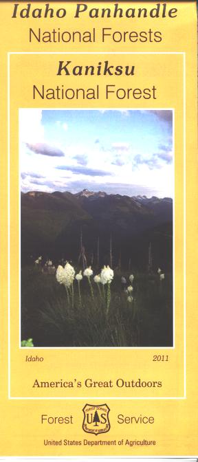
Map: Kaniksu National Forest ID Sky Terrain One inch equals 4 miles

SKU 5834388449
4.7
USD19.99 USD39.99

Pay in 4 interest-free payments of $5.00 Learn more

Shipping Estimate
USA
  • USA
  • CAN

Ships within 48 hours · Estimated delivery Aug 22 - Aug 27

Description

One inch equals 4 miles with GPS detail

& skiing info and so much more

This map shows detailed coverage of the entire 56

A great map for visitors to Los Alamos or Santa Fe looking for outdoor activities nearby

MT Moose 150

Map: Kaniksu National Forest ID Sky Terrain One inch equals 4 milesCovers the Kaniksu National Forest and includes Priest Lake, and Lake Pend Oreille. Also shows a section of Kootenai National Forest in Montana, and a section of Coleville National Forest in Washington. A good map to have when doing day trips from Sandpoint, or planning camping or hiking activities. Lake activities include camping, fishing, boating, and watersports; boat ramps and recreation sites are marked. Enjoy scenic driving through the forest

Exchange/Return Notes
  • We offer a 30-day return/exchange service after receiving.
  • Final sale items are not eligible for returns or exchanges.
  • To process your return/exchange, please contact us at [email protected]
  • Please click here for more details>>> Return & Exchange Policy

You may also like

recommand products